
-
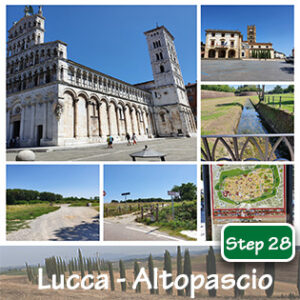
Step 28 : Lucca – Altopascio
€2,00€5,00 -
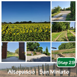
Step 29 : Altopascio – San Miniato
€2,00€5,00 -
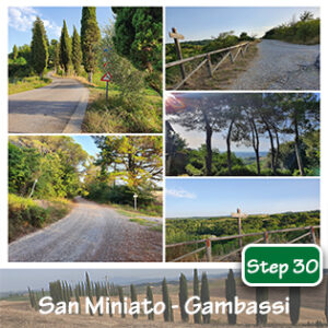
Step 30 : San Miniato – Gambassi Terme
€2,00€5,00 -
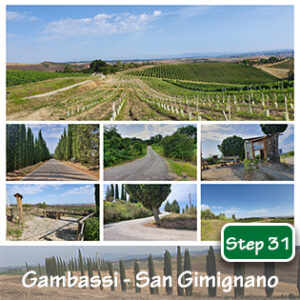
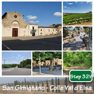
Step 31 : Gambassi Terme – San Gimignano
€2,00€5,00 -
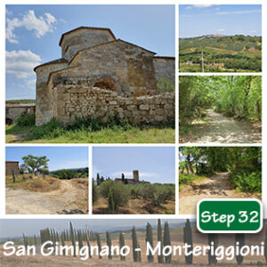
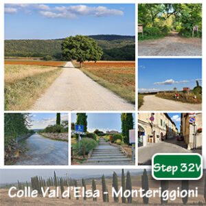
Step 32 : San Gimignano – Monteriggioni
€2,00€5,00 -
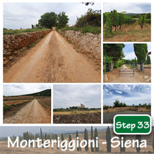
Step 33 : Monteriggioni – Siena
€2,00€5,00 -
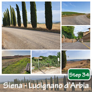
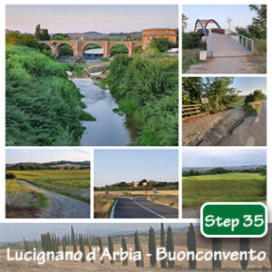
Step 34 : Siena – Lucignano d’Arbia
€2,00€5,00 -
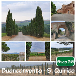
Step 36 : Buonconvento – San Quirico
€2,00€5,00 -
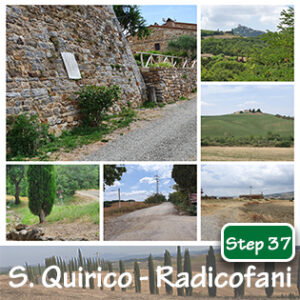
Step 37 : San Quirico – Radicofani
€2,00€5,00